
Georgia & North Carolina
Lake Chatuge, right now
Today’s level from TVA’s gauge at the dam, where to launch and buy gas on both sides of the state line, what’s on from Hiawassee to Hayesville, and the latest on TVA’s spillway drawdown.
Live from TVA and the National Weather Service
Lake Chatuge right now
1,918.28ft
7.72 ft below summer pool
TVA reading, Nov 4, 1:00 AM
- Wind
- Air
- Humidity
- TVA levels
- Summer pool 1926 ft, June 1 to Labor Day. Winter pool about 1918 ft. Planned repair drawdown: 1908 ft, late 2027 at the earliest.
- Weather
- Loading the forecast
- Weather alerts
- Checking
Level from TVA, published by NOAA gauge CHAN7 at Chatuge Dam. Weather from the National Weather Service. Some live data didn't load; the links above have the official readings.
Photo: Harrison Keely, CC BY 4.0

Heading out this week?
Every ramp, both states- WaterWinter pool is hereTVA lowers Chatuge about 8 feet each fall, from 1926 ft summer pool to about 1918 ft for winter, and refills it from mid-March. A lower lake in November is normal. Points and stumps come up in the coves. The level
- GasTwo places to buy fuel on the waterThe Ridges Marina and Lake Chatuge Marine in Hiawassee. Winter hours are short, so call before you count on them. Gas docks
- FishingYour license works from the boatA Georgia or North Carolina license covers you anywhere on the lake from a boat, but not from the bank across the line. How it works
TVA plans to take the lake down to 1908
To rebuild Chatuge Dam’s 1942 spillway, TVA plans to draw the lake down to 1908 ft, 10 feet below normal winter pool. After a public outcry in 2025, TVA said drawdowns would come only in fall and winter, with construction starting in late 2027 or early 2028. A final decision is expected in 2027. What we know
Start here
Chatuge’s dam needs a new spillway. Here’s what that means for the lake.
Why TVA says the spillway can’t wait, how low the lake would go, when, and what the people of Hiawassee and Hayesville pushed back on.
Map
Lake map
Every ramp, marina and campground on both sides of the state line.
Open the mapFuel
Gas docks
Where to buy gas on the water, with hours and phone numbers.
Find fuelFishing
Fishing report
Spotted bass, hybrids, walleye, crappie, and how the two-state license works.
What’s bitingHistory
What’s under the lake
A drowned highway, a cemetery island and the Cherokee towns of the Hiwassee valley.
Read the story
Coming up around the lake
The whole year-
7Nov
-
13–15Nov
-
26Nov
-
5–6Dec
-
11–20Dec
-
12Dec
One lake, two states
The full guideGeorgia side
Hiawassee & Young Harris
The lake wraps around three-quarters of Hiawassee, the Towns County seat. The Georgia Mountain Fairgrounds sit right on the shore, with Anderson Music Hall and Hamilton Gardens. Young Harris College is up the road, and Brasstown Bald, Georgia’s highest point, looks down on all of it.
North Carolina side
Hayesville & Brasstown
The dam is in Clay County, North Carolina, near the 1888 courthouse square in Hayesville. Jackrabbit Mountain and Ledford Chapel are the big public ramps. The John C. Campbell Folk School in Brasstown has taught mountain crafts since 1925.
Around the lake
Explore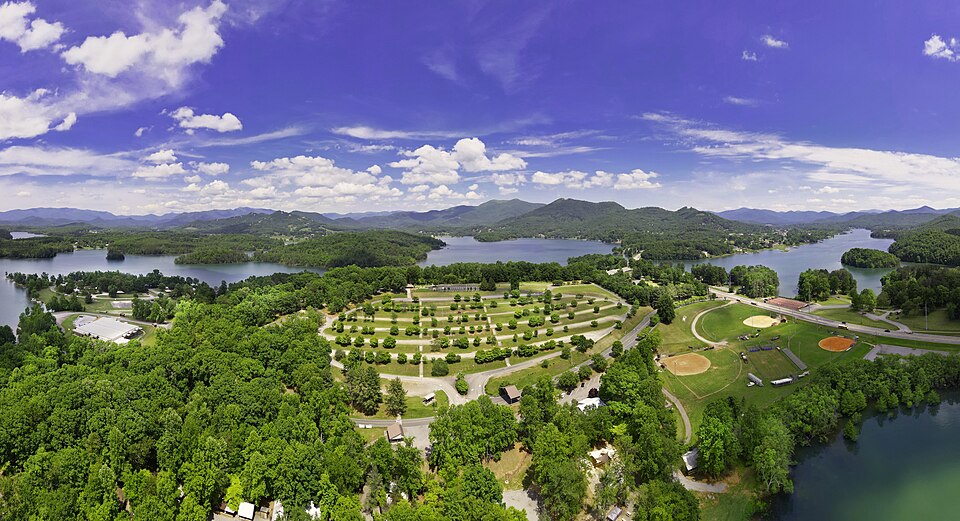
Hiawassee
The fairgrounds
Concerts at Anderson Music Hall, the fall festival, the state Fiddlers’ Convention and lakeside camping.
What’s on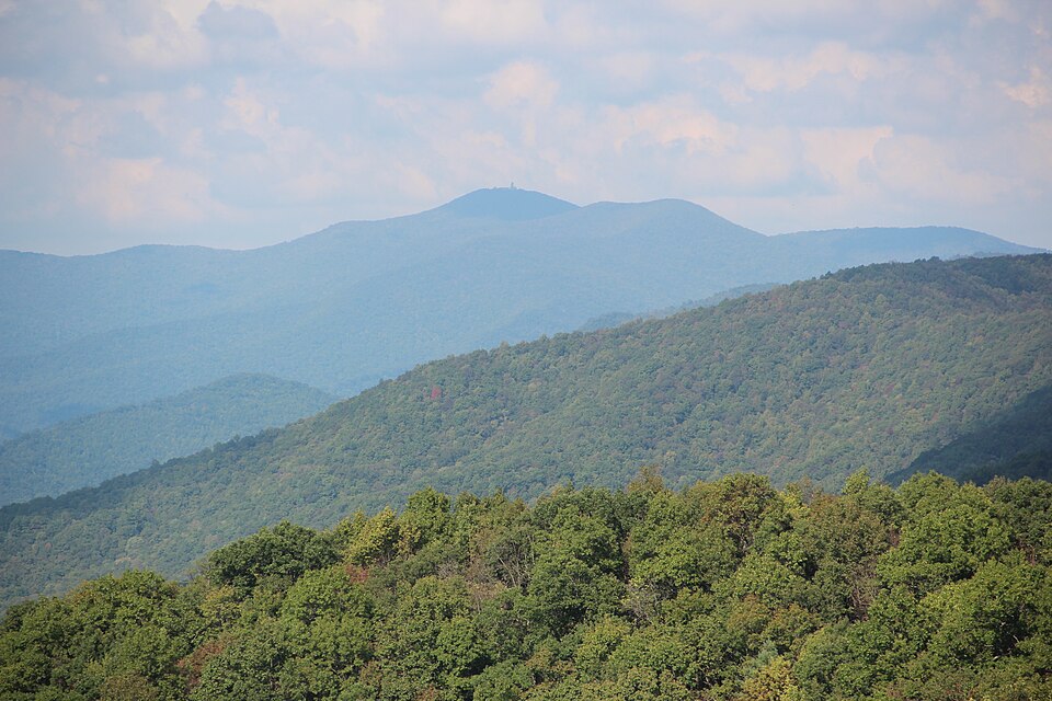
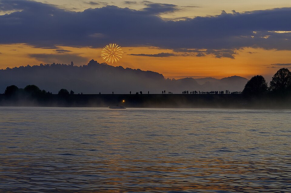
July 4th
Fireworks at the dam
Clay County launches them near the dam; watch from a boat, the dam lot or Gibson Cove.
The yearly calendar
With the dog
Dog-friendly Chatuge
Leash rules on TVA, Forest Service and county land, and where to walk.
The dog guide
- 1,926feet: summer pool, the highest major lake in Georgia
- 7,000acres of water
- 132miles of shoreline
- 1942year TVA closed the gates
Asked at the ramp
Why is Lake Chatuge low right now?
Because it’s winter. TVA lowers the lake each fall to make room for winter and spring floods, to about 1918 ft, and refills it to 1926 ft by June 1. The low point of the curve is about 1915 ft in mid-February. See today’s level.
When will TVA drop the lake to 1908?
Not before late 2027. TVA has said it will draw the lake down only in fall and winter, for about two off-seasons, once it picks a repair plan. A draft environmental impact statement is expected this winter and a decision in 2027. The full story.
Do I need a Georgia or North Carolina fishing license?
Either one, if you’re fishing from a boat: the two states honor each other’s licenses anywhere on the lake. On the bank, a pier or a boat tied to shore, you need the license of the state you’re in. Details.
Who do I call in an emergency?
911. Towns County answers on the Georgia side and Clay County on the North Carolina side; give the nearest marina, ramp or landmark. Safety on the lake.
Who runs the lake?
The Tennessee Valley Authority, which built Chatuge Dam in 1941–42. The shore is mostly TVA land; ramps and parks are run by TVA, the U.S. Forest Service, North Carolina Wildlife, Georgia DNR, Towns and Clay counties, and private marinas.